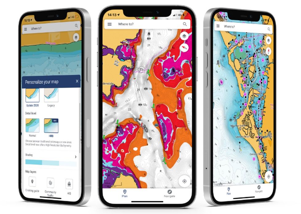
This week, Lowrance unveiled a new app for mobile devices, designed to interface with a host of the company’s premium fishfinders. The Lowrance app is offered in two formats, the first of which is free to download and use. The other version of the app provides users with access to additional functions not found in the app’s free version.
In both forms, the Lowrance app features the latest up-to-date nautical charts, furnished by C-MAP. Users can also log and save personal waypoints and tracks, directly to the app. Additional information regarding marine weather is also made available to users.
Anglers can register each of their Lowrance fishfinders within the app’s interface, allowing for data synchronization. One can also access and control their Lowrance fishfinder directly from the company’s app.
The premium version of the Lowrance app features custom depth shading, High-Resolution Bathymetry Charts, offline maps, 5-day weather overlays, and GPS navigation data. At the current moment, it appears that these premium features are offered in the form of “in-app purchases”, which are offered at various price points.
“The ability to easily manage, create and plan your waypoints, routes, and tracks in your app and then seamlessly synchronize with your Lowrance display from anywhere on the boat right from the palm of your hand will enable anglers to spend more time doing what we love: fishing,” said Lucas Steward, EVP of Lowrance. “Whether you are using the free or the new premium version, we are confident all anglers will be blown away with the high-resolution, detailed C-MAP charts, which includes over 14,000 lakes in the U.S. to name just a few features.”
The Lowrance app is available for both Apple and Android devices.

